The Sierra de Tejeda is a stunning mountain range located in the provinces of Malaga and Granada in southern Spain. A Sierra de Tejeda map will show you its rugged peaks, lush forests, and picturesque villages. This region offers visitors a wealth of natural beauty and cultural attractions to explore. The range is part of the larger Baetic System of mountain ranges and is home to La Maroma, the highest peak in the province of Málaga at 2,068 meters.
The Sierra de Tejeda is a popular destination for outdoor enthusiasts, with a wide variety of activities available including hiking, mountain biking, rock climbing, and bird watching. The range is also home to several natural parks, including the Sierras de Tejeda, Almijara y Alhama Natural Park, which covers over 40,000 hectares and is home to a diverse array of flora and fauna.
In addition to its natural beauty, the Sierra de Tejeda is also rich in history and culture. The region has been inhabited for thousands of years and has a fascinating past that includes Phoenician, Roman, and Moorish influences. Visitors can explore ancient ruins, historic castles and fortresses, and charming villages with narrow streets and whitewashed houses.
Towns and Villages
The Sierra de Tejeda is home to many charming towns and villages that are well worth a visit. These picturesque settlements are steeped in history and culture, and offer visitors a glimpse into traditional Andalusian life. The Natural Park of the Sierras of Tejeda, Almijara and Alhama includes several municipalities that belong to the Malaga administration. Here is a list of the Malaga municipalities located within the natural park:
in Granada province you can visit the following towns:
- Alhama de Granada
- Arenas del Rey
- Játar
- Jayena
- Otívar
Biodiversity
The natural conditions of the park have favored the establishment of a wide diversity of vegetation formations and great floristic richness due to the presence of almost all the altitudinal vegetation levels existing in the Iberian Peninsula. The park is home to a diverse array of flora and fauna, including many species adapted to mountainous environments.
Flora
The main botanical enclaves of interest are represented by the high peaks, valleys and ravines. The most characteristic locations are the southern slope of the Sierra de Tejeda, Sierra de Játar, La Resinera, the upper basin of the Río Verde and Sierra Cázulas, Sierra de Nerja and Sierras de Cómpeta and Enmedio.
Fauna
Birds are the best-represented group of vertebrates in terms of species numbers. Among these, the group of rock-dwelling birds such as the golden eagle, Bonelli’s eagle, peregrine falcon, eagle owl, griffon vulture, red-billed chough stand out.
- Golden Eagle
- Bonelli’s Eagle
- Peregrine Falcon
- Eagle Owl
- Griffon Vulture
- Red-billed Chough
Places to Visit
The Sierra de Tejeda is located in the south of Spain and runs approximately northwest to southeast, reaching the sea in the area of the natural site of the Maro cliffs. The landscape is rugged and abrupt, with numerous ridges and deep valleys, such as the Río Verde canyon. Sierra Tejeda is the highest part of this mountain range, reaching 2066 meters at La Maroma peak.
Here are some places to visit within the Sierra de Tejeda:
- Nerja Cave (Map)
- Maro Cliffs (Map)
- Maro Tower (Map)
- Río Chíllar Canyon (Map)
- Velez-Malaga Fortress (Map)
- Bentomiz Castle (Map)
- Iman Country House (Map)
- Fabrica de la Luz (Map)
Hiking Trails
The Sierra de Tejeda is located in the south of Spain and runs approximately northwest to southeast, reaching the sea in the area of the natural site of the Maro cliffs. The landscape is rugged and abrupt, with numerous ridges and deep valleys, such as the Río Verde canyon and Rio Chillar in Nerja. Sierra Tejeda is the highest part of this mountain range, reaching 2066 meters at La Maroma peak.
Here are some hiking trails within the Sierra de Tejeda:
- Río Chillar Trail (Map)
- Urbanización Puente Águila – Mirador Tajo de los Bueyes Trail (Map)
- Frigiliana – Lecho del Río Higuerón – Mirador Frigiliana Trail (Map)
- Urbanización Puente Águila – Tajo de los Bueyes – Cueva de Nerja Trail (Map)
- Sedella Area Recreativa (Map)
- Hanging bridge El Saltillo (Map)
- Area Recreativa el Alcazar (Map)
- Collado de la Torrecilla (Map)
- Hiking trail Canillas de Aceituno – La Maroma (Map)
- Puerto de Competa (Map)
Sierra de Tejeda map
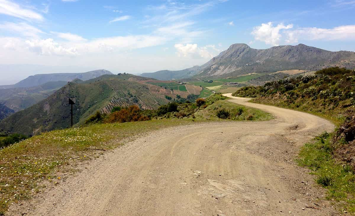
The Sierra de Tejeda has many narrow roads that wind through the mountains. These roads can be challenging to navigate and may have cyclists, so it is important to drive carefully and enjoy the scenery. There are also spaces where you can stop to take a walk and enjoy the surroundings, the fresh air, and the views of the Mediterranean.